
Mark and Focus analysis
Guinea Is Making Watershed Condition Part of Conakry’s Water System
Read the analysis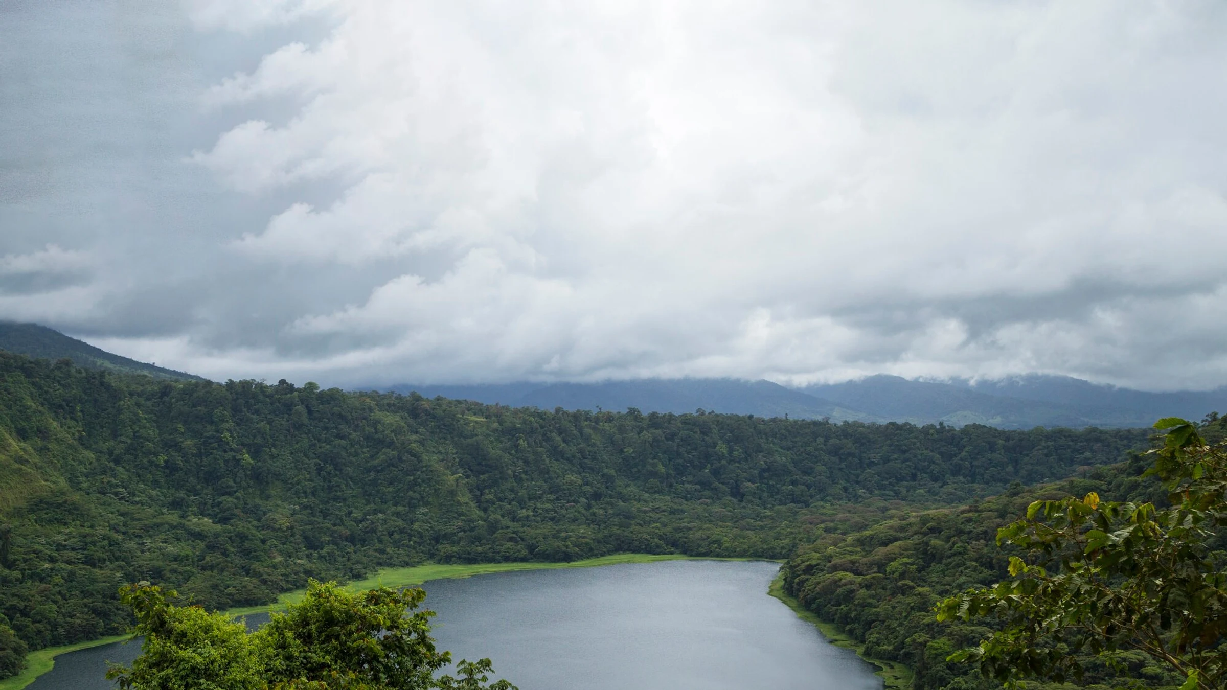
Guinea is pairing water infrastructure for Greater Conakry with US$11 million for upstream restoration and the Gangan National Park. The design makes watershed condition, livelihoods and utility performance parts of the same water-security system.
Guinea’s latest water investment changes the boundary of the urban water system. The pipes, reservoirs and institutional reforms planned for Greater Conakry now sit alongside restoration in the Samou sub-basin, where degraded slopes and vegetation affect the water reaching the capital’s reservoirs. A World Bank update published on 5 August describes US$11 million from the Global Environment Facility’s Least Developed Countries Fund for nature-based measures, including hill terraces, slope stabilization, revegetation and the rehabilitation of forests and grasslands.
The intervention is small beside the approximately US$670 million financing envelope described for the wider Guinea Water and Sanitation Project, or PEAG. Its significance lies elsewhere. It treats sediment, infiltration and flow stability as service conditions rather than as environmental matters outside the water program.
The source is part of the asset
Conakry’s reservoirs depend on a landscape shaped by farming, deforestation and unregulated land use. When exposed soils wash downstream, the water system receives more than raw water. It receives sediment, variable flows and additional treatment pressure. Conventional investment can increase production and distribution capacity, but it cannot by itself prevent the source catchment from deteriorating.
The restoration component addresses that upstream mechanism. Terraces can reduce the speed with which water and soil move downslope. Bioengineering and revegetation can stabilize vulnerable ground. Rehabilitated forests and grasslands can improve infiltration and reduce erosion. These are plausible functions, not guaranteed outcomes. Their value must be demonstrated at the points where landscape processes become water-system performance: sediment entering reservoirs, turbidity at intakes, seasonal flow behavior and treatment requirements.
That evidence boundary matters because the program is also expected to improve water services for more than 2.6 million people. World Bank project documents distinguish about 572,200 people expected to gain access for the first time from roughly two million existing customers expected to receive better service. Those are downstream service outcomes. The nature-based component should not claim them as restoration results unless monitoring can show how upstream changes contribute to service reliability.
A park cannot operate apart from its neighbours
The Government of Guinea has also announced the Gangan National Park across critical parts of the Samou sub-basin. Protected status can reduce damaging land-use pressure, but a boundary on a map does not manage the economic relationship between communities and vegetation. Residents farm and use natural resources within the wider landscape. If conservation removes access without credible alternatives, pressure can shift rather than disappear.
PEAG therefore links conservation with training, income opportunities and community participation. This is not an accessory social component. It is part of the operating design. Vegetation cover will depend on thousands of local decisions about cultivation, fuel, grazing and land stewardship. Alternative livelihoods must be sufficiently reliable to change those decisions, while park governance must remain legitimate enough to resolve conflict and adapt rules to local conditions.
The institutional map is equally important. The water program, national-park authorities, basin managers, the Guinea Water Company and communities control different parts of the system. No single actor can deliver the full result. Restoration contractors can install terraces or plant vegetation; they cannot ensure that the water utility responds to changed source conditions. The utility can improve pressure and service hours; it cannot maintain upstream land practices. Coordination must therefore be expressed through shared objectives, data and responsibility rather than periodic consultation alone.
Measure functions before claiming transformation
The program’s next evidence need is a baseline that connects ecology to water operations. It should record land cover, erosion-prone areas, sediment movement, reservoir inflows and relevant raw-water quality before interventions mature. Monitoring can then test whether particular measures perform differently by slope, soil, land use and maintenance regime.
Livelihood evidence needs similar precision. Participation counts show reach, not whether households can sustain income while reducing pressure on vegetation. Useful indicators would distinguish training from adoption, temporary earnings from durable livelihoods, and land placed under an agreement from land whose condition improves.
This discipline protects the program from two opposite errors. The first is to dismiss an US$11 million component because it is financially smaller than conventional infrastructure. The second is to attribute the entire water-service improvement to restoration. Guinea’s design is stronger than either claim. It recognizes that a functioning catchment can protect the performance of engineered assets, while pipes, treatment and utility reform remain necessary to convert raw water into reliable service.
The most important decision is therefore not whether Guinea has chosen nature or infrastructure. It has chosen to treat them as connected assets. The work ahead is to make that connection observable enough to manage.
Take-Out
Guinea’s program will succeed only if upstream land management produces measurable source-water benefits that the downstream water service can retain and use.
Questions and answers
What readers should know
- What changed in August 2026?
- The World Bank detailed an US$11 million nature-based component linking restoration in the Samou sub-basin and Gangan National Park to Greater Conakry’s water program.
- What measures are proposed?
- Hill terraces, bioengineering, revegetation and rehabilitation of degraded forests and grasslands.
- How many people are expected to benefit from PEAG water investments?
- More than 2.6 million, including roughly 572,200 people expected to gain access for the first time.
- Why are livelihoods part of the water-security design?
- Household land-use decisions affect vegetation cover and erosion, so conservation depends on viable ways to reduce pressure on natural resources.
- What would demonstrate success?
- Evidence connecting maintained landscape measures to reduced erosion or sediment, improved source-water conditions and water-service performance, while separately tracking livelihood outcomes.
Stay in the loop
Keep Mark and Focus in view
Hear about future publications, announcements, and relevant updates from Mark and Focus.