
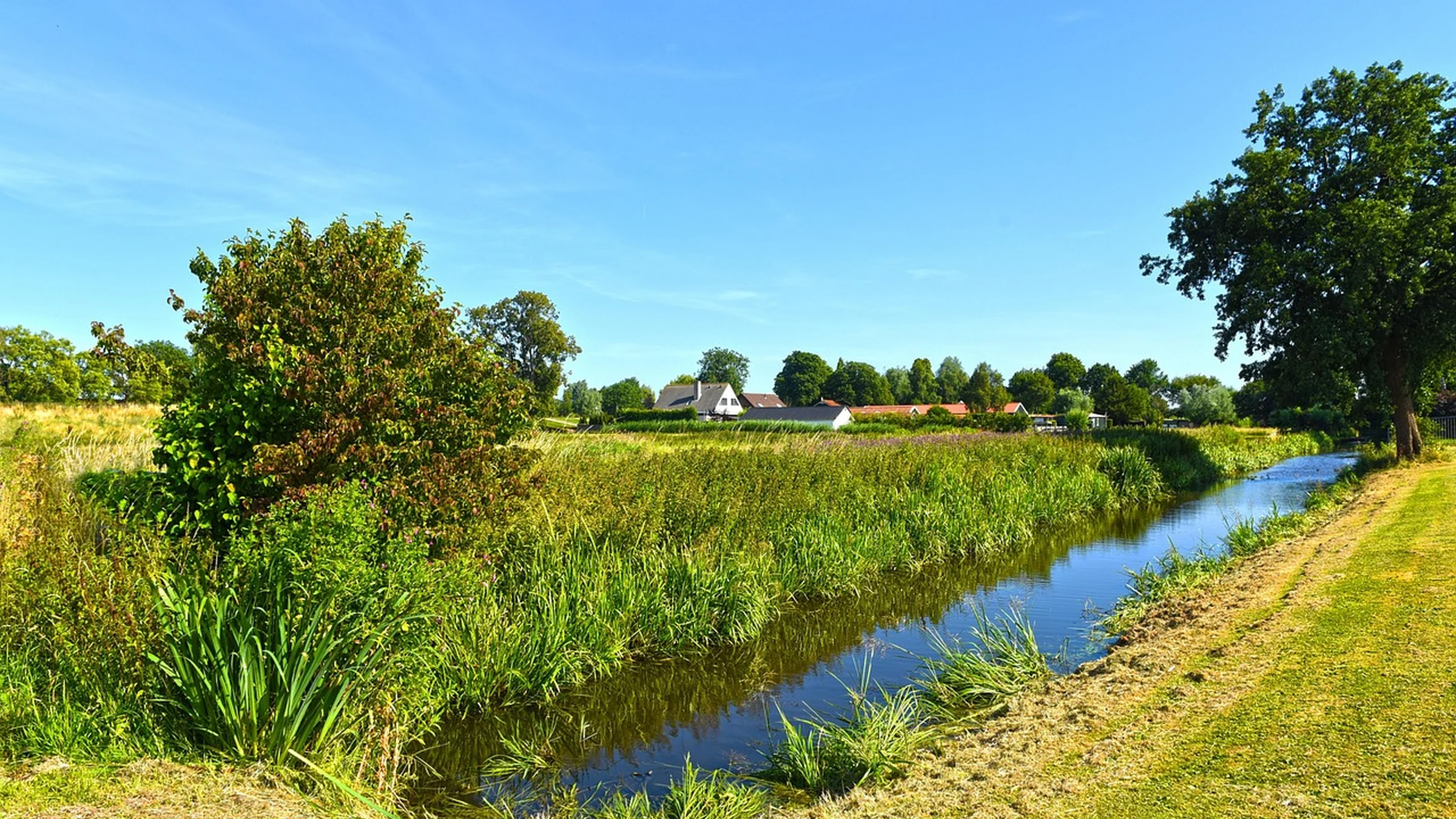
The Dutch government has sent its revised national spatial vision to parliament. It identifies ten large housing locations and asks planners to account for water, soil and electricity capacity when deciding where towns and industries can grow.
A housing site can look ready on a land-use map and still lack the services that make it buildable. It may need an electricity connection that the local grid cannot yet supply. It may sit on land that could store water in a heavy storm. Or it may rely on a train station or road upgrade that has a different budget and timetable. The Netherlands brought those questions together in its revised national spatial planning vision, the Nota Ruimte, which the housing and spatial planning minister sent to parliament on November 16. The document looks to 2050, with a view to 2100.
Put Water and Soil Into the Site Decision
The vision makes water and soil conditions a guiding principle across policy areas. A developer can often address a water problem within a site boundary for ordinary conditions. At the scale of a river catchment or a polder, the same decision can change where water has room to go during a storm. A polder is a low-lying area where water levels are managed. If an area is being considered for temporary storage at peak flows, building on it can increase the amount of engineered storage needed somewhere else.
The document includes a search for new peak storage in deep polders and calls for space for dike strengthening and drainage. It also gives water storage and recreation as an example of sharing land. A park that can flood occasionally may perform both functions if its ground levels, planting and paths allow it to reopen after water recedes. Each prospective use still has to fit the soil, the water regime and the consequences for adjoining land.
Work Back from the Homes That Need Services
The revised vision adds ten large housing locations of national significance. The minister expects five to contribute substantially through 2035 and the other five during the 2035–2040 period. The vision also favors building in and around existing settlements, with homes, services, green space and access to jobs planned together.
That approach lets a region use some infrastructure it already has, but the spare capacity varies. A block of new homes can fit next to an existing station while the feeder roads, water mains or local electricity network need work. Adding a school or clinic can affect the size and timing of those connections. Looking at the neighborhood as a whole gives planners a better idea of which investment must be ready before a site can open and which can follow as residents move in.
Connect New Demand Where Power Can Reach It
The minister’s letter gives more weight to electricity grid congestion because it can hold up development even where land is available. A connection depends on the power that a network can carry at the time customers need it. Locating a large customer close to energy supply can help where the network configuration and timing of demand allow it. Growth can still require a substation, a cable route or an upgrade farther upstream.
This gives electricity infrastructure a place in land planning alongside transport and drainage. If a housing area and a business park depend on the same upgrade, their delivery dates depend on a common construction schedule. Reserving a cable corridor or a substation site early can preserve room to build. Waiting until other plots are allocated can put the utility and the developer back at the design table.
Use Regional Agreements to Resolve Conflicts
The national vision will bind the central government and guide other authorities once formally established. That matters because provinces, municipalities and water boards each control parts of the outcome. A regional planning discussion can put a housing location, flood storage needs and decisions about access on the same map. The housing authority can then see what the location requires from a transport operator, water board or grid company before it commits to a timetable.
The minister intends to complete an implementation strategy in spring 2027 and is making €4.2 million available across the provinces for regional follow-through. The letter envisages design studies or workshops among other uses. Work at that stage can make options comparable and identify the parties that need to agree. A project still needs its own financing, statutory decisions and delivery arrangements.
Look at Which Commitments Arrive Together
The clearest early test will be what happens around the ten housing locations. A credible sequence would identify how much land needs to stay available for water, when the grid can provide a connection, and who will deliver the transport and public services needed for each phase. The order can differ from one location to another. In one area the limiting step may be a grid upgrade. In another it may be securing the space to manage stormwater without shifting the problem downstream.
The November presentation gives officials and residents a common set of locations and priorities to examine. The minister’s letter places formal publication after final adoption. As those plans advance, the telling decisions will appear in regional agreements and project schedules, where a promise to combine uses has to become a workable division of land, costs and time.
Take-Out
A housing location becomes credible when land, drainage, power and access can be made available together. The Dutch vision gives regions a reason to test those dependencies before designs and budgets harden.
Questions and answers
What readers should know
- What did the government present?
- It sent the revised Nota Ruimte, its national spatial vision, to parliament on November 16, 2026.
- How many housing locations are new in the revised vision?
- It adds ten large locations of national significance and distinguishes expected contributions through 2035 and during 2035–2040.
- Why do water and soil affect planning?
- The shape and condition of the land affect what can be built, how it can drain, and where the area can hold excess water.
- How can the power grid delay development?
- A site needs electricity network capacity when homes and businesses begin drawing power. Grid works may take longer than securing the land.
- What comes next?
- The minister aims to finish an implementation strategy in spring 2027. The November letter says formal publication of the vision follows final adoption.
Stay in the loop
Keep Mark and Focus in view
Hear about future publications, announcements, and relevant updates from Mark and Focus.