
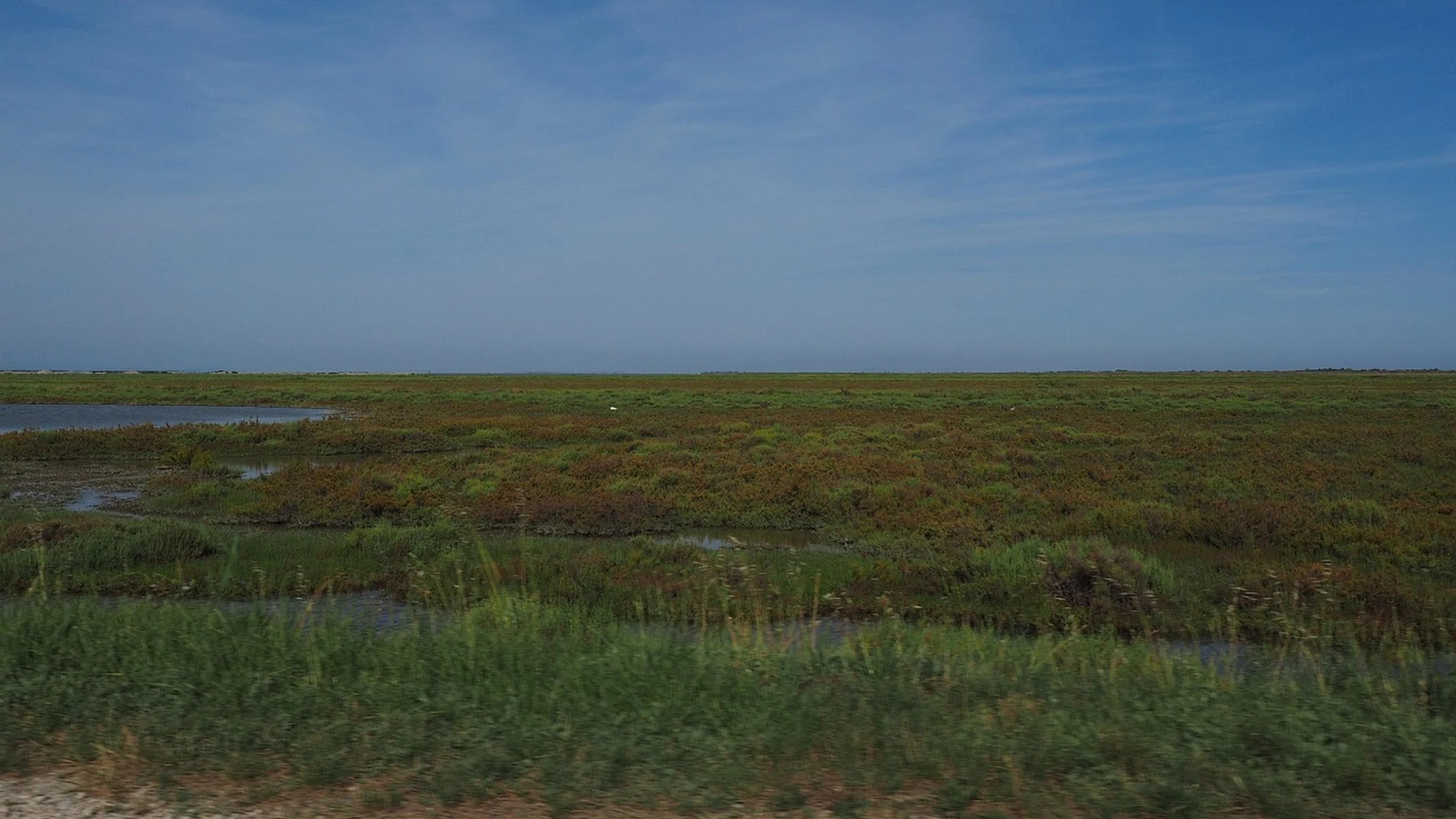
France’s wetlands plan reports nearly 40,000 hectares restored with water-agency support since 2022. The review also records land acquisitions and new monitoring tools, offering three different ways to judge progress as the plan extends to 2030.
France extended its fourth national wetlands plan to 2030 and published a progress review on November 18. The review reports nearly 40,000 hectares restored with support from the water agencies since the plan began in 2022. That puts reported delivery at roughly four-fifths of the original 50,000-hectare goal. The extension gives France time to continue the work and a chance to tighten what it measures as projects move from construction to recovery.
What the Area Figure Counts
A hectare of wetland can be affected by relatively small changes to how water leaves it. Drainage ditches can lower the water table across an area larger than the earthworks themselves. Where restoration changes how a channel, ditch or floodplain moves water, the hectares reported should describe the area treated under the project’s definition. The number tells a reader the scale of the intervention. Its ecological meaning depends on how the boundary was drawn and what later observations show about site conditions.
Water agencies can compare the amount of land reached against a program target. Comparisons between individual projects ask different questions. A shallow marsh disconnected from its stream requires different work from a drained peatland. A large area with modest changes can be worthwhile, while a smaller site can show a stronger physical response. Both results would be flattened into a single acreage total.
Ownership Creates Room to Act
The plan also reports about 13,000 hectares acquired with water-agency support against an 8,500-hectare acquisition objective. The Conservatoire du littoral accounted for more than 3,600 of those hectares. Acquiring land can secure access for restoration crews, place future management under an institution with a conservation mandate and give site managers more control over activities that affect water levels. The land may still need investigation and physical works after acquisition.
France’s Ramsar figures answer a third question. The review records six additional sites and one extension between 2022 and 2026. Designation recognizes wetlands of international importance and makes them visible in a national and international network. Large designation boundaries can cover areas that have long retained their wetland function. Adding those hectares to the land acquisition or restoration totals would obscure what each activity achieved.
A Forest Stream Shows What Has to Change
The Clauge project in the state forest of Chaux illustrates the practical work behind an area figure. The National Forest Office and its partners are working on stream channels and historically drained forest wetlands. The approach aims to return streams to more natural courses and slow the movement of water through the forest. A straighter channel can carry water out quickly. Reconnecting stream and wetland gives water more opportunity to remain in the soil and nearby habitats.
The progress report identifies the approach and its intended effects. Assessing the result calls for observations that reflect those specific changes. Managers could compare how long wet areas hold water across seasons and how habitat responds after works. Seasonal variation makes a single visit difficult to interpret. A wet year can produce standing water even where a drainage problem persists, while a dry year may test whether the restored area retains water for longer than it did before.
Follow-Up Makes Sites Comparable
France is developing common methods through the MhéO toolkit, which is intended to help managers track changes across wetlands. The national biodiversity observatory also expects its wetlands indicators to reach 37 by the end of 2026, up from 23 at the start of 2022. Those are distinct efforts. The toolkit can help a manager decide how to track a particular site. National indicators give an overview of broader changes across wetlands and of the policies intended to protect them.
A shared approach to baselines and follow-up makes it easier to interpret different investments. Site managers can choose indicators that fit local conditions while still describing their observations consistently enough to support comparison. With that record, France can keep the initial program’s clear measure of scale and learn which alterations to streams, ditches or land management produced the changes that justified the investment. That is the information the extended plan can use when choosing where and how to restore the next set of sites.
Take-Out
France can show the scale of restoration with hectares. To judge what those works achieved, managers also need comparable observations of how water moves and how habitats recover at individual sites.
Questions and answers
What readers should know
- How much wetland restoration does the review record?
- Nearly 40,000 hectares since 2022 with financial support from the water agencies.
- What was the original restoration target?
- The fourth plan set a target of 50,000 hectares by 2026.
- How much wetland was acquired?
- The review reports about 13,000 hectares acquired with water-agency support, above the 8,500-hectare acquisition objective.
- What is the Clauge project trying to change?
- It aims to restore more natural stream courses and the hydrology of forest wetlands affected by historical drainage.
- Why extend the plan to 2030?
- The extension aligns the wetlands plan with France’s national biodiversity strategy and continues the actions launched in 2022.
Stay in the loop
Keep Mark and Focus in view
Hear about future publications, announcements, and relevant updates from Mark and Focus.