
Japan’s transport and infrastructure ministry has set out a new approach to fast-onset urban flooding. It links better maps of low-lying places, live observations for safer movement and investment in the places that hold or carry stormwater.
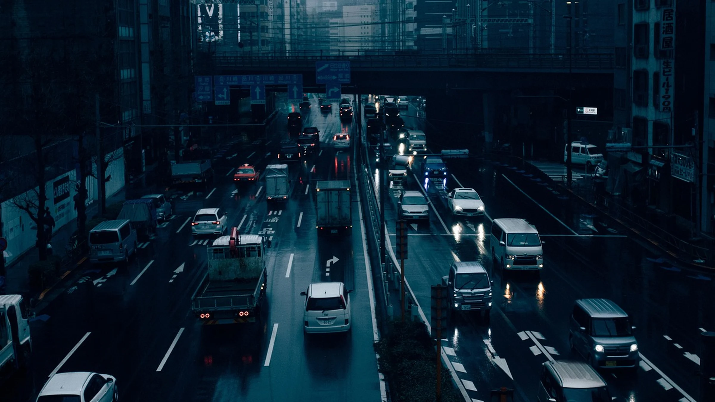
A road can become dangerous before a nearby river overtops its banks. During the August 2026 downpour in Chiba, rain fell faster than parts of the urban drainage system could carry it away. Water collected in underpasses and low spots in residential areas. Heavy rain in the Tōkai region in September also disrupted transport and flooded underground spaces. Japan’s infrastructure ministry released its urban flood response on November 10, organizing measures around what people know before a storm, what they can do as water rises and how much rain the city can hold or move.
Draw the Low Points People Actually Use
Surface water follows local slopes and collects where it has no easy place to drain. That creates pockets of danger within a neighborhood, even when the surrounding streets appear passable. A road dipping beneath a railway, a ramp into an underground car park and a station entrance can all collect water. They also tend to be places that people use routinely, making the risk easy to overlook on a familiar trip.
The policy calls for clearer communication about local depressions and underground spaces. A flood map can help someone anticipate where a route might fail and find another route before rain arrives. It can also help a station or building operator decide which entrances and equipment need a response plan. The ministry’s case material records disruption at a university hospital in Chiba where muddy water reached basement drainage equipment and electrical boards. For operators, knowing that a basement may flood is only the beginning. It helps to know which services stop if the equipment down there fails.
Tell People What Is Happening on Their Route
Flood maps show where flooding is possible. Once rain starts, people also need to know which of those places are already under water. The ministry proposes extending a network of flood sensors and making the observations available as open data that public warning services, maps and navigation apps can use. The working proposal includes a location, an observation time and information about when flooding starts or recedes.
That detail changes the decision a warning can support. Someone deciding whether to walk to a station or retrieve a car needs information about the entrance or street they will actually use. A late report or a marker without a timestamp can leave them judging conditions that have already changed. The policy also continues work on warnings about driving into flooded underpasses. Communications and street operations therefore have to work together. A local reading can explain a closure, while physical controls keep the route closed to people who never receive the warning.
Give the Water Somewhere to Go
Urban drainage has to move water away from the places it threatens and find space for the portion that cannot pass downstream immediately. During the September storm, an underground stormwater basin near Nagoya Station was already in provisional operation. The ministry cites that storage as contributing to lower flood damage in the area. The comparison describes a different storm from the earlier event used as a baseline, so it illustrates how the basin worked under pressure without isolating how much damage the basin prevented.
Japan’s policy calls for coordinating the rivers, sewers and storage that serve the same catchment, with higher design rainfall under consideration in places that need priority action. The order matters. Enlarging a pipe can move water through a street faster, but only if the receiving system has space for it. Temporary storage can hold back part of the peak until the drainage network can accept more. Working out which low points people need to avoid, and where water can safely collect, connects the warning map to the investment plan.
Take-Out
A warning buys time only when people can act on it. Japan’s policy starts with specific low points and routes, then asks where drainage and storage can keep those places functioning longer.
Questions and answers
What readers should know
- What prompted the policy?
- Heavy rain in Chiba in August and the Tōkai region in September exposed problems with drainage, flooded routes and vulnerable underground facilities.
- What is surface-water flooding?
- It happens when rain accumulates faster than the local ground, drains and channels can absorb or carry it away.
- What would the proposed sensor network publish?
- The ministry plans to make location and time-stamped observations about flooding and recession available for mapping and warning services.
- Why is underground storage part of the response?
- It can temporarily hold rainwater that the drainage network cannot carry at the height of a storm.
- Have all the measures been delivered?
- The policy lays out measures already underway alongside actions planned for coming flood seasons and subsequent years.
Stay in the loop
Keep Mark and Focus in view
Hear about future publications, announcements, and relevant updates from Mark and Focus.