
Bihar and India’s road ministry have agreed to use suitable sediment removed from rivers and other water bodies in national highway projects. The arrangement links limits on extraction to engineering tests and records of how much material reaches each road site.
A river manager deciding how much material to remove and a highway engineer calculating how much fill to buy start with different constraints. Bihar’s November 3 agreement with India’s Ministry of Road Transport and Highways creates a way to connect those decisions. Under the Nadi Sanjivani river desilting initiative, sediment from approved sites can go into national highway works if it meets road specifications. The arrangement depends on a sequence of decisions about where removal makes sense, what the excavated material can do, and when the road project can take it.
Start with the river reach
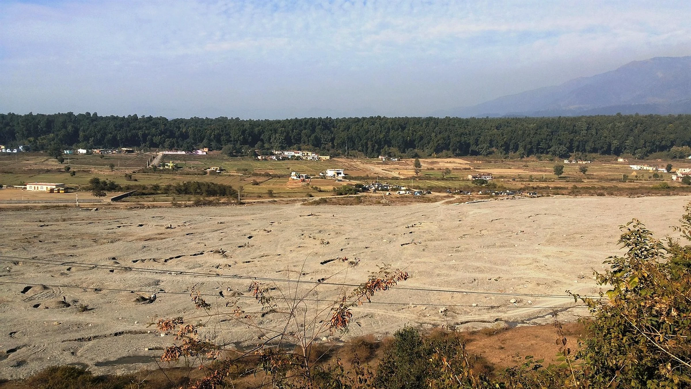
The agreement calls for technical assessment before extraction, limits work to approved locations and sets boundaries on how much can be removed. Those controls matter because a deposit that constricts flow at one location may help stabilize a bank or sustain habitat elsewhere. Removing a bar can redirect flow toward an embankment or bridge pier. The authorities have identified banks, embankments, bridges and other structures as features to protect. A reach assessment therefore needs to account for how flow and sediment move through the area around the excavation.
The same reasoning applies to flood management. Clearing a constricted channel can help water pass through that reach. The effect on inundation farther downstream depends on channel geometry, flow arriving from upstream and conditions elsewhere during a flood. India’s national sediment framework sets out a case for examining those relationships before using desilting as a flood-control measure. A road project’s need for fill provides an outlet for appropriate sediment. The river assessment still establishes whether extraction belongs in the first place.
Match material to the engineering job
The road ministry identified 24.3 million cubic meters of potentially suitable material for 16 highway projects under construction. The ministry proposes using a further 83.5 million cubic meters across 27 future projects. The figures describe prospective use subject to technical suitability and approvals. A deposit described as silt in a policy document can include a mixture of fine particles and sand. Two truckloads from nearby reaches can respond differently to compaction or wet weather, which affects where they can be placed and how they have to be handled.
The agreement requires testing against the road ministry’s specifications and relevant Indian Roads Congress codes. Testing makes the distinction between what a river crew can excavate and what a road contractor can accept measurable. A suitable batch can displace some conventional fill. A batch that falls outside specification needs a different authorized destination or treatment, and the road program must account for the gap. The economics of reuse depend on these decisions because testing, handling and transport can consume part of the value of material available without a purchase charge.
Schedule extraction and placement together
A road contractor needs material at a particular point in construction. River work has its own timetable, governed by flow, site access and permit conditions. An approved source can be unavailable when an embankment crew needs it. A source opened too soon can produce more material than a project can take, leaving a stockpile that needs land, handling and protection from runoff.
The agreement names Bihar’s road construction department as the state’s coordinating department. A state committee will scrutinize proposals, facilitate approvals, monitor progress and address operating problems. In practice, the two sides can use that arrangement to compare approved extraction windows with construction schedules before crews start work. Where schedules diverge, the committee has a specific problem to resolve, such as finding another qualified destination or reducing the planned extraction volume.
Reconcile the quantities
The ministry describes joint measurement, digital records, regular monitoring and reconciliation of quantities removed, transported and used. That creates a record with three points where the numbers can differ. Some excavated material may fail a test, remain in storage or change volume when it is compacted. A reconciliation process needs to account for these differences with consistent measurement and a way to record rejected loads.
Those records have a wider role than confirming what reached the road. They allow river managers to compare actual removals with approved limits and can show whether highways are drawing material repeatedly from the same reach. If demand from several construction contracts converges on one source, the authority can review their combined effect at the river site. Looking at each delivery in isolation would miss that pressure.
Measure performance on both sides
A truck count measures movement. River managers also need repeat observations of the affected reach to see how the channel, banks and drainage respond after high flows. Highway engineers need acceptance records tied to the placed material and its performance. Changes in river conditions and construction quality occur on different timescales, so evidence on one side cannot settle the other.
The agreement gives Bihar a way to test whether the same movement of material serves both purposes. A site may be worth clearing even if its sediment has no highway use. Another deposit may look attractive to a contractor while remaining important to the river. Keeping both tests visible gives the state a basis for scaling the projects where the two purposes coincide.
Take-Out
Bihar can judge the agreement by tracking two results separately. River managers need evidence that extraction improves conditions at the approved sites, while highway engineers need evidence that the material placed in roads meets their specifications.
Questions and answers
What readers should know
- What did Bihar and the road ministry sign?
- A memorandum of understanding to assess and remove sediment from selected water bodies and use qualifying material in national highway construction.
- How much sediment has been identified for current works?
- The road ministry identified 24.3 million cubic meters for 16 highway projects under construction, subject to suitability and approvals.
- Who coordinates delivery in Bihar?
- Bihar’s road construction department is the designated coordinating department, supported by a state committee that will review proposals and monitor work.
- How will road projects determine which material to use?
- Material must be tested against applicable road ministry specifications and Indian Roads Congress codes.
- How will authorities account for the material?
- The agreement provides for joint measurement, digital records and periodic reconciliation of quantities extracted, transported and used.
Stay in the loop
Keep Mark and Focus in view
Hear about future publications, announcements, and relevant updates from Mark and Focus.